ARTICLES
“Almost a perfect match!” Can you really draw Hokkaido’s shape just with post office locations? A surprising map emerges, with many asking, “Are they mostly along the coast?”


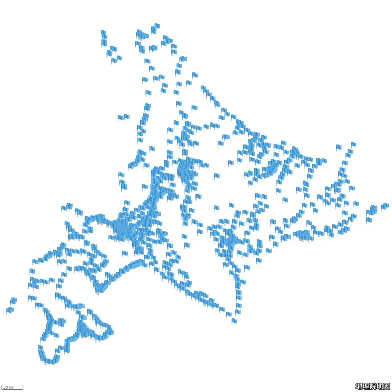
This is a map of Hokkaido drawn using only the locations of post offices.

Image courtesy of @chiri_b_geo's post
A Map Born from a Geography Lover's Fascination with Hokkaido's Shape
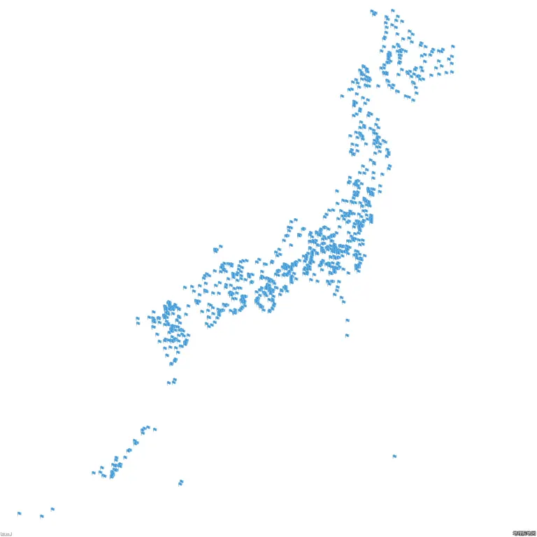
This is a map of Japan drawn using only the search results for 'government office'
The person behind this post is "Chiri B no Tabi," who shares the fun of geography and maps on social media. They say they were originally fascinated by the shape of Hokkaido itself and enjoyed looking at maps. While using the Geospatial Information Authority of Japan's map service to find things that could represent a shape solely through the distribution of search results, they noticed that post office locations beautifully traced the shape of Hokkaido, which led to this post.
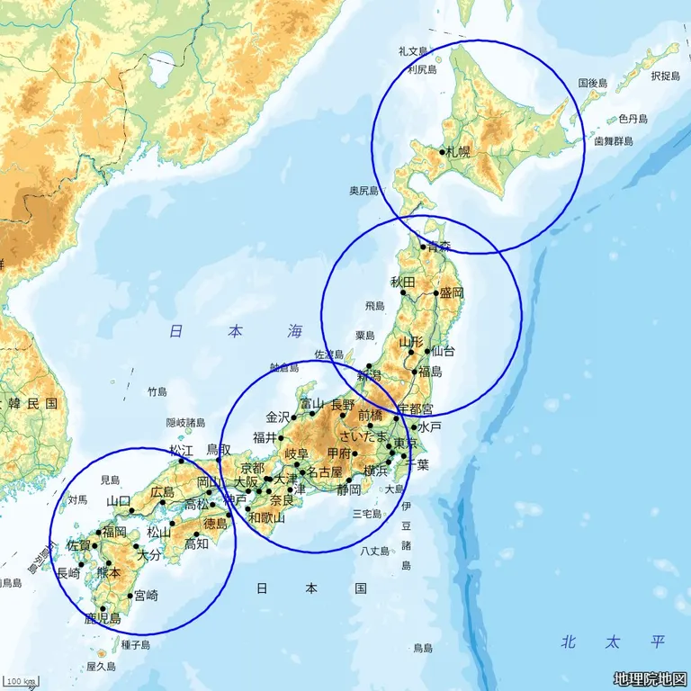
Here are some other posts from "Chiri B no Tabi." This one compares the size of Hokkaido.
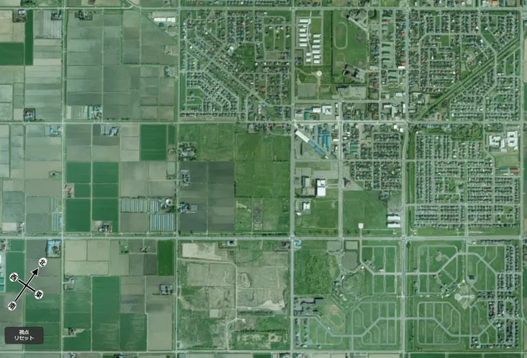
An aerial view of Nanporo, Hokkaido, for the "Integrated Circuit-like Aerial Photo Championship"
Chiri B no Tabi explained the Hokkaido map drawn with post office locations as follows:
The distribution of post offices corresponds to some extent with where people live. The distribution of settlements along the coast allows the coastline to be drawn clearly. Outside of Hokkaido, it's not always possible to draw the entire coastline with just post offices, which I find interesting.
At first glance, it might seem like just an "interesting picture," but behind it, one can discern the lifestyle, regional characteristics, and human activities of Hokkaido. This post was a reminder of the profound depth of geography.
X (formerly Twitter): @chiri_b_geo
*The image was created by acquiring and partially modifying a map from the Geospatial Information Authority of Japan.
- 1
- 2