


Kuromatsunai Town
Central Hokkaido
417 Fans
Home to Japan's northernmost beech forest, a National Natural Monument
Population:2,400
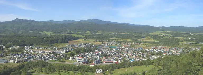
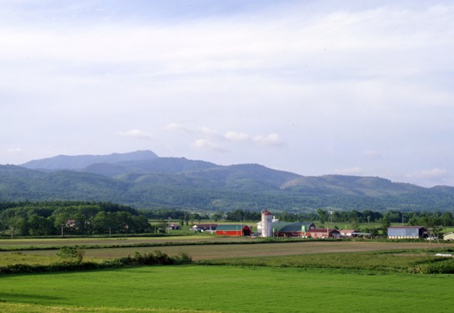
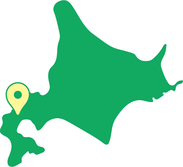
Kuromatsunai Town is located in the southwestern part of Hokkaido, at the southern tip of the Shiribeshi Subprefecture, and is situated almost halfway between Sapporo and Hakodate. It has a unique topography where the Sea of Japan to the north and the Pacific Ocean to the south can be seen at a short distance. Although it does not directly face the sea, you can get a panoramic view of both beautiful seas from the summit of Mt. Kuromatsunai. Major arterial roads and the JR Hakodate Main Line connecting the Central and Southern Hokkaido regions run through the town, and it plays an important role as a key transportation hub.
The climate is strongly influenced by the two seas. In spring and summer, it becomes cool due to dense fog from the Pacific Ocean, and in winter, winds from the Sea of Japan bring heavy snowfall, making it one of the snowiest areas in Southern Hokkaido. The place name originates from the Ainu word "Kur-mat-nai" (meaning "the stream with a Japanese woman"), conveying the historical romance of the people who once stayed in this land.
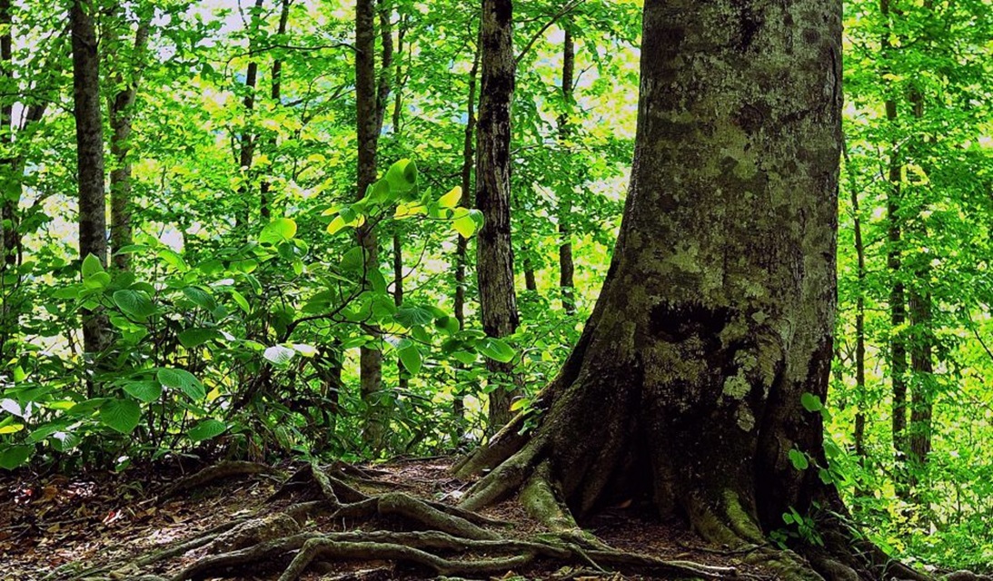
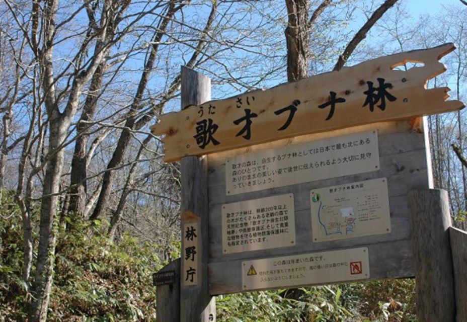
The town's greatest pride is that it is the "northernmost limit" of the beech trees that represent Japan's temperate forests. The "Utasai Beech Forest," which has extremely high academic value, was designated as a National Natural Monument in 1928. The overwhelming water retention capacity of the beech forest, known as a "green dam," enriches the land with pure water and continues to bestow abundant blessings upon the region. It is a beautiful town full of vitality, where the mystical beech forest changes its expression with the seasons and the breaths of two seas intersect.
Kuromatsunai Town Spots
-
SPOT
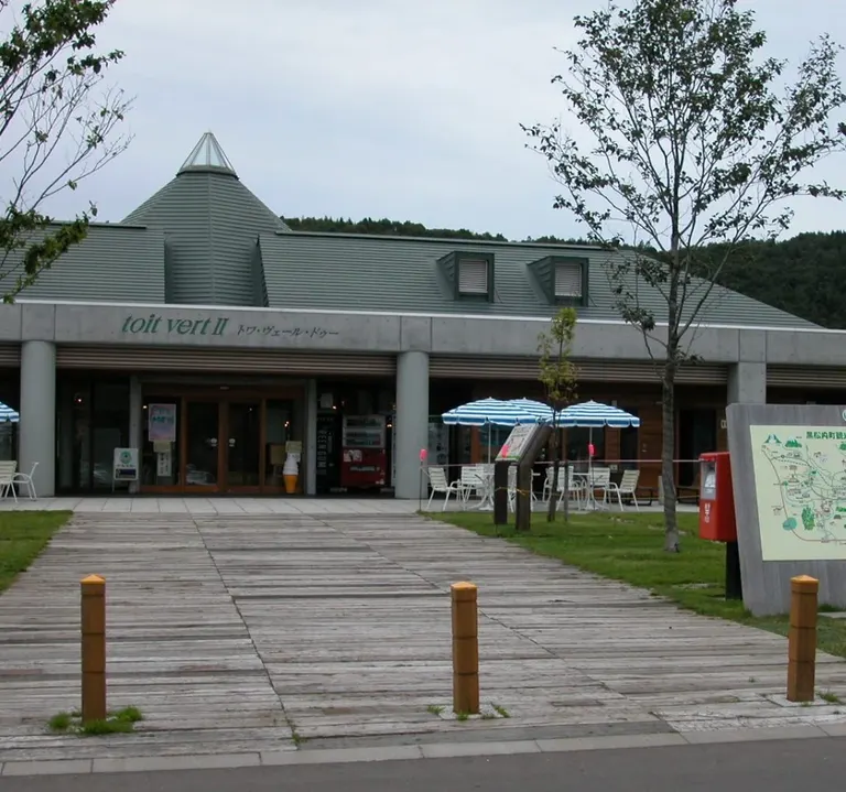
Roadside Station Kuromatsunai toit vertⅡ (Toit Vert Deux)
-
SPOT
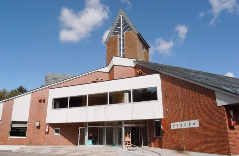
Beech Center in Kuromatsunai Town
-
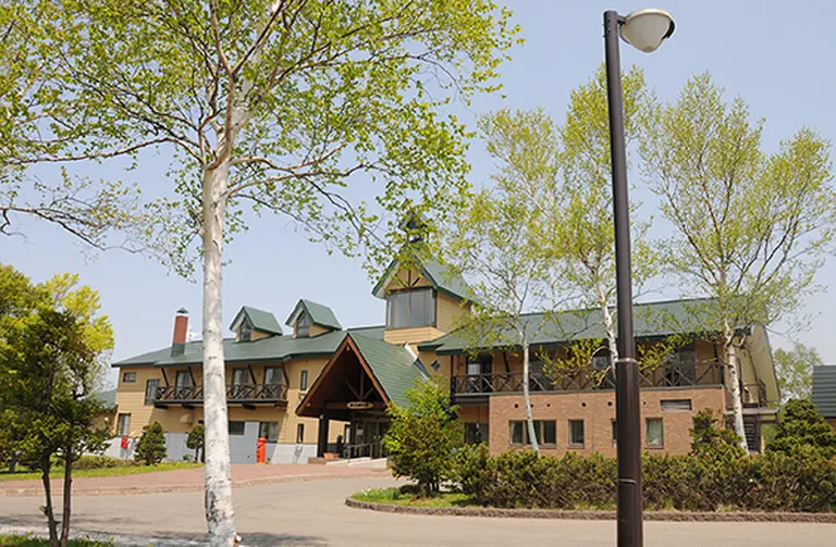
SPOT
Nature experience learning facility Utasai Nature's House
-
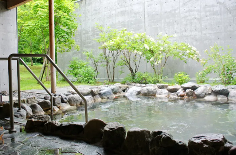
SPOT
Kuromatsunai Town Hot Spring Beech Forest
-
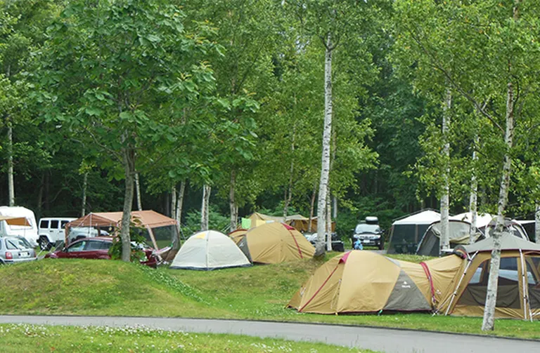
SPOT
Utasai Auto Campsite L'PIC (L'PIC)
-
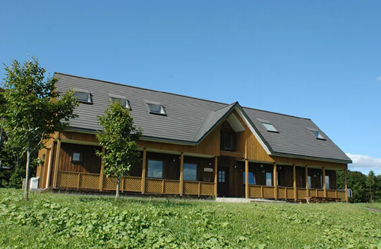
SPOT
Soebetsu Beech Forest Farm Village Nature Park Mini Visitor Center