


SPOT
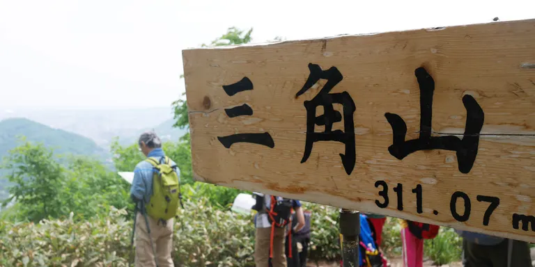
Sankakuyama (Mt. Sankaku)



Overview
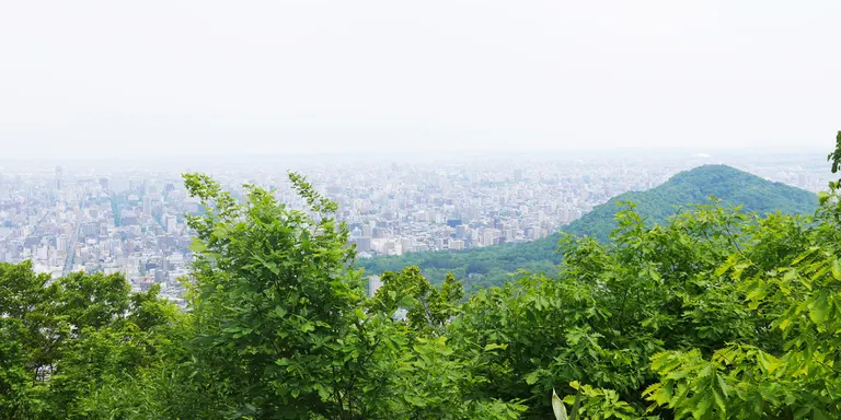
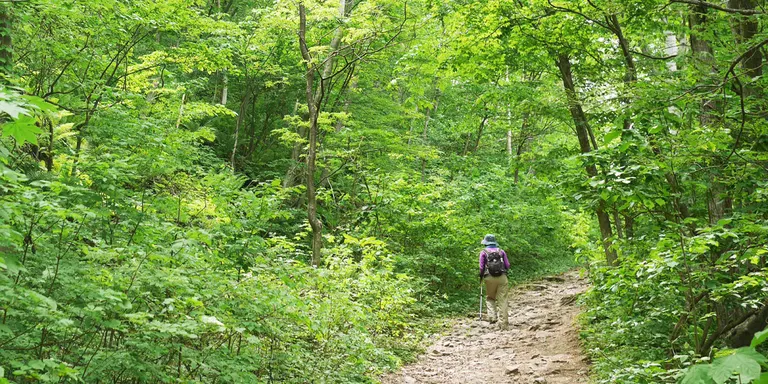
Mt. 311.0 m above sea level, Sankaku offers a panoramic view of Sapporo city from the top and is recommended for beginners as the trail is well maintained. On weekends and holidays, visitors range from young children escorted by elderly people to young trail runners, all of whom come to enjoy nature. Signs and benches are placed at each junction, allowing visitors to choose their route according to the gradient and distance. It takes less than one hour to reach the top even if you climb slowly, so it is easy to go out whenever you feel like it on a fine day or in between trips. There are three trailheads for Mt. Triangle: Yamanote, Kobetsuzawa, and Miyanomori, but the most accessible is the Yamanote entrance, which has a parking lot and restrooms. There are no vending machines, so be sure to bring your own drinks.
Location
Yamanote, Nishi-ku, Sapporo, Hokkaido
Access
・Takes about 20 minutes by car from the center of Sapporo.
To get to the Yamanote entrance, take the J.R. Hokkaido Bus from Nishi 28-chome Station on the Tozai Subway Line to Yamanote 4-jo 11-chome Station (approx. 10 minutes), then walk 5 minutes.
parking lot
Available (free of charge)
スポット運営者
札幌市建設局みどりの推進部みどりの管理課