SPOT
Kaminokoike Pond


Overview
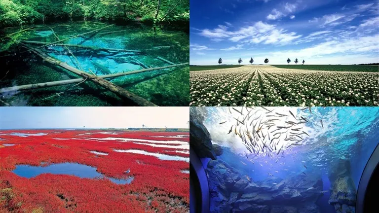
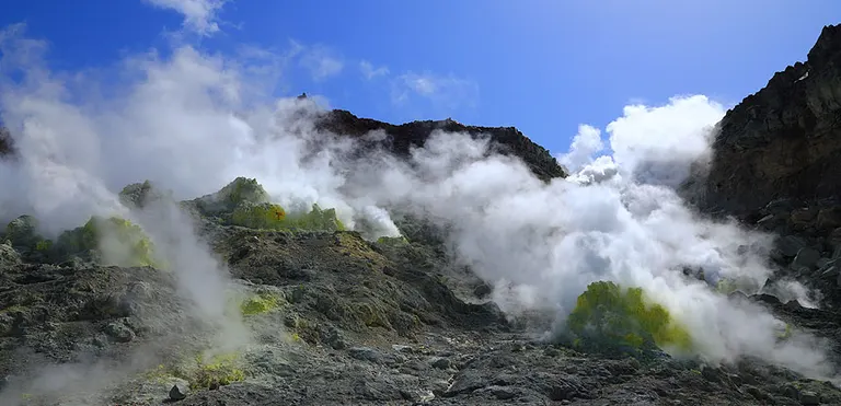
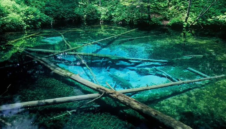
It is a pond deep in the mountains where groundwater from Lake Mashu springs up. It is called 'Kaminoko' (Child of God) Pond due to a legend that it is formed from the underflow water of Lake Mashu (Kamuy-to = Lake of the Gods).
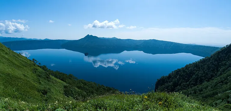
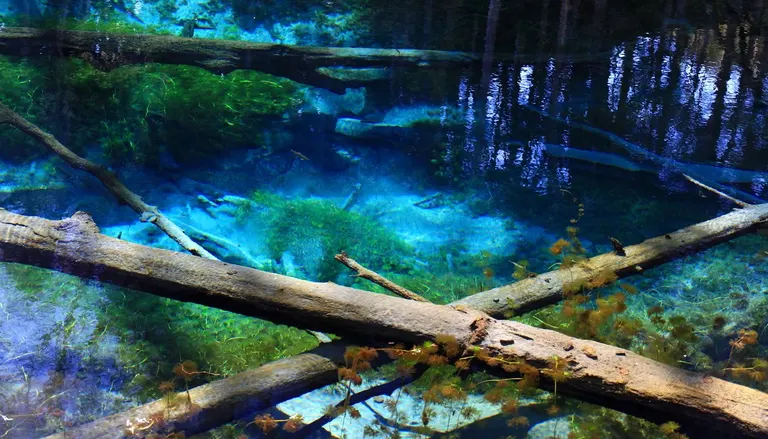
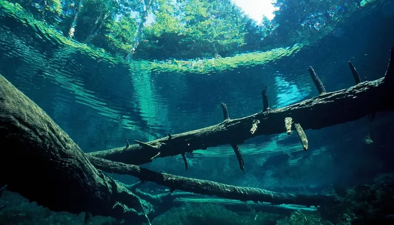
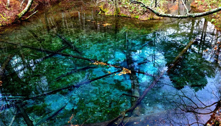
What makes Lake Mashu significantly different from other lakes is that it has no rivers flowing into or out of it. Despite this, its water level does not change even in spring when a large amount of snowmelt flows into it. This is because the lake causes underflow water to spring up in the surrounding area, such as at Kaminokoike Pond. The underflow water at Kaminokoike Pond gushes out at a rate of 12,000 tons per day. It is a small pond with a circumference of 220m and a depth of 5m, and the water is so clear that you can see the bottom distinctly.
The water temperature is low, at 8°C year-round, and fallen trees lie submerged in the blue water like fossils, without rotting. The sight of Dolly Varden trout with their vermilion spots swimming between them is a mysteriously beautiful spectacle.
*From Prefectural Road 1115 to Kaminokoike Pond, you will drive on a forest road. The parking lot (free) is also unpaved.
*There is a vault toilet available.
*A 'Kaminokoike Pond Snowshoe Tour' is held around February every year.
Business Hours
Open for viewing at any time
*Please note that snow is not cleared during the winter season. Snow may remain until after May, so please be cautious.
regular closing day
Winter season: The Kaminokoike Pond forest road may be closed to vehicles.
*Please check the official website for the specific dates.
Location
Kaminokoike, Seisen, Kiyosato-cho, Shari-gun (斜里郡清里町清泉 神の子池)
Access
From the center of Kiyosato Town, travel 25 km on Prefectural Road Mashu-Shari Line towards Nakashibetsu, then turn right onto Hatoi Forest Road. After proceeding for about 2 km on the forest road, you will find a sign for 'Kaminokoike Pond' at the entrance of the road.
*Map Code for car navigation systems: 910216161
*Please be aware that mobile phone reception is poor around Kaminokoike Pond.
*The shoulders of the forest road are prone to collapse, so please drive slowly when traveling by car.
parking lot
Available (free of charge)