![A road to see ancient castles and cherry blossoms [Scenic Byway Hokkaido (11)]|Domingo](https://p1-634a4370.imageflux.jp/w=768,f=webp:auto,q=78/https%3A%2F%2Fdomingo.ne.jp%2Fwp%2Fwp-content%2Fuploads%2F2021%2F06%2F9dd507253fff8f6a5f9885ba547f13b0.jpeg)
ARTICLES
A road to see ancient castles and cherry blossoms [Scenic Byway Hokkaido (11)]
This route coordinator
![[Image name]](https://p1-634a4370.imageflux.jp/w=768,f=webp:auto,q=78/https%3A%2F%2Fdomingo.ne.jp%2Fwp%2Fwp-content%2Fuploads%2F2021%2F06%2F0ed780ff4afb0f0deb47c7be1ffd7da9.png) Dounan Oiwake Scenic Byway Route Coordinator
Yoshiko Sato
Dounan Oiwake Scenic Byway Route Coordinator
Yoshiko Sato
This drive route
Dounan Oiwake Scenic Byway Route
The route is rich in nature, history, culture, and food resources, and new efforts have begun to deepen cooperation between the various regions. With the opening of the Hokkaido Shinkansen, an increase in new population is expected, and we will take on the challenge of revitalizing the region by reflecting the connections between "people" and "roads" in our activities. By linking the existing treasures of the region, we will add value and turn them into tourism resources, making them something we can be proud of.
Let's go for a drive right away!

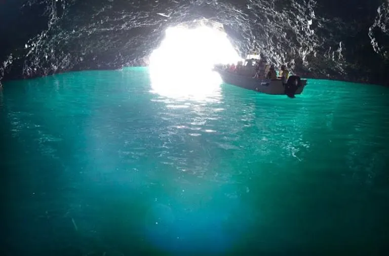
Cruises to the hidden, untouched wilderness of southern Hokkaido depart from two locations: Yagoshi in Shiriuchi Town and Iwabe in Fukushima Town. Departing from both the east and west of the same location, they offer different views to enjoy. Enjoy a 75-80 minute cruise tour while being amazed by the mysterious and fantastical sea, including the Blue Cave, and listening to the historical and legendary background stories.
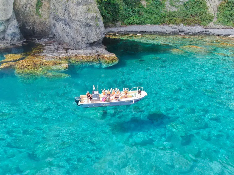 854CRUISE (Yagoshi Cruise)
IWABE CRUISE
[854CRUISE (Yagoshi Cruise)] ■Location 99-8 Otaniishi, Shiriuchi-cho, Kamiiso-gun ■ Contact Information 854CRUISE (Yagoshi Cruise) 01392-6-7854 ■ Business hours Reservation reception hours: 8:00-18:00 Operating period ▶︎Late April to early October ■Closing Days Suspended during this period: 9/16-18, 22 [IWABE CRUISE] ■Location 65 Iwabe, Fukushima Town, Matsumae County ■ Contact Information Fukushima Town Planning Workshop General Incorporated Association Telephone number: 0139-46-7822 Email address: info@iwabecruise.com ■ Business hours Operation period: Late April to mid-October

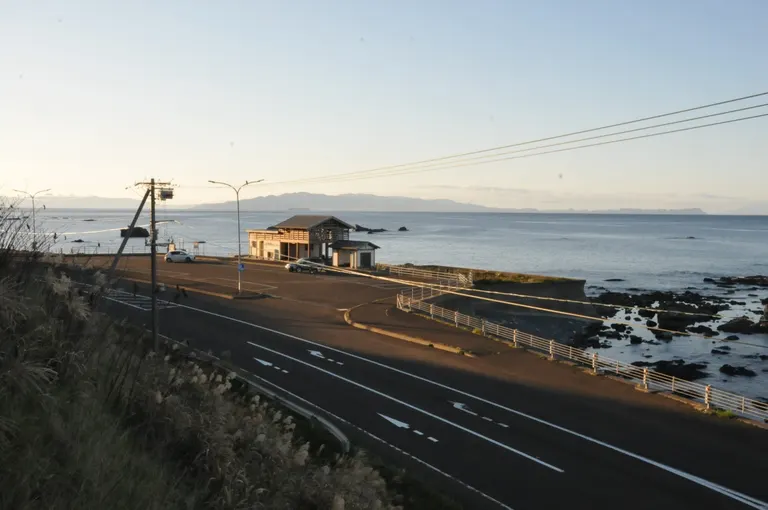
It is not widely known that Cape Shirakami is the southernmost point of Hokkaido and is located south of the northernmost tip of Honshu. Located 1.5 km west of Cape Shirakami, Cape Shirakami Observation Plaza is a viewing point parking lot that offers a spectacular view not only of the Tsugaru Peninsula, but also of Kojima and Oshima islands. The world-famous Seikan Tunnel, an undersea tunnel, connects beneath the Tsugaru Strait, and the sea route there continues to Aomori via National Route 280. What is View Point Parking?
■Location Shirakami (Shirakami Cape), Matsumae Town, Matsumae District ■ Contact Information 0139-52-0117 (Esashi Town Tourist Information Center) ■ Business hours Inquiry reception: 8:30-17:00 ■Closing Days Inquiries accepted ▶︎Saturdays, Sundays, and holidays ■ Map code 676 219 461 * 38 ■ Map

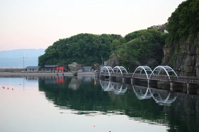
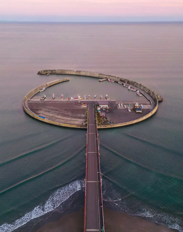
When viewed from the sky, it looks like a seagull, and is designated as a special area of Hiyama Prefectural Natural Park. The beautiful view of the Sea of Japan overlooking Okushiri Island, especially the sunset, is highly recommended. This island is the symbol of Esashi Town and is now connected to the mainland. It is within walking distance of the town, and there are promenades and footpaths to enjoy. It is also a place that is expected to develop in the future as an outdoor facility with camping grounds and fishing spots.
Esashi Town Tourism Information Portal Site■Location Hiyama County, Esashi Town, Ubagami Town ■ Contact Information 0139-52-4815 (Esashi Tourism and Convention Association) ■ Business hours Inquiry reception: 9:00-17:00 ■Closing Days Inquiries accepted ▶︎Saturdays, Sundays, and holidays ■ Map code 1108 104 753*75 ■ Map

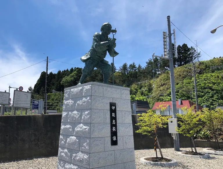
Ino Tadataka, a great man who created a map of Japan in the 1800s that is identical to the modern map, began his surveying of the area in Yoshioka, Fukushima-cho, Hokkaido. Based on this historical fact, a statue of Ino surveying the area heading towards Hakodate was erected in 2018, and a memorial park was developed. The area is located in Matsumae Yagoshi Prefectural Natural Park, a scenic spot overlooking the Tsugaru Strait. Experience the romance of history and maps. What is View Point Parking?
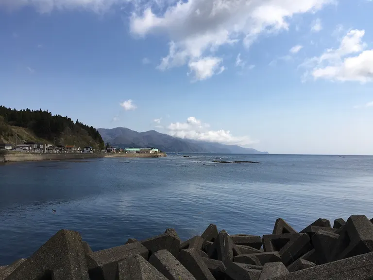 Fukushima Town
■Location Toyohama, Fukushima Town, Matsumae District ■ Contact Information 0139-47-3004 (Fukushima Town Tourism Association) ■ Business hours Inquiry reception: 9:00-17:00 ■Closing Days Inquiries accepted ▶︎Saturdays, Sundays, and holidays ■ Map code 676 404 482*3 ■ Map

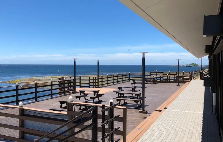
Roadside Station Kitamaefune Matsumae in Matsumae Town, the southernmost town in Hokkaido, is located within the Matsumae-Yagoshi Prefectural Natural Park, and is always ranked highly among the roadside stations with the best scenery in Hokkaido. The proud "Umikaze Terrace" where you can enjoy the magnificent view of the Tsugaru Strait is also registered as a scenic deck. At the adjacent "Umikaze Shokudo" you can taste seasonal seafood such as locally caught bluefin tuna and sea urchins from Maehama, a spot that will soothe your five senses. What is View Point Parking?
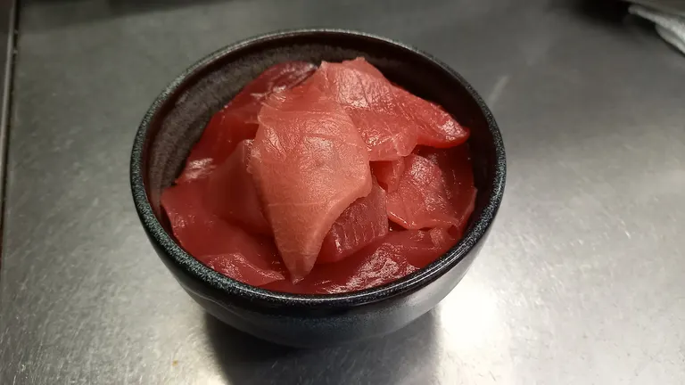 Roadside Station Kitamaefune Matsumae
■Location 379 Karatsu, Matsumae-cho, Matsumae-gun ■ Contact Information 0139-46-2211 ■ Business hours 9:00-17:00 (Extended hours during Golden Week and other consecutive holidays) Umikaze Shokudo: 11:00-15:00 ■Closing Days Year-end and New Year holidays (12/31-1/2) ■ Map code 862 028 788 ■ Map
summary
How was it? The route we took this time allowed us to enjoy the blue of the sky and sea, as well as the pleasant sea breeze. It made me want to drive while learning about the history as well as the scenery. Please continue to enjoy driving while taking thorough measures to prevent infectious diseases.
 Scenic Byway Hokkaido
Scenic Byway Hokkaido
You may also want to read this!
Recommended for those who read this article ・A colorful road overlooking Funka Bay and Mt. Komagatake [Scenic Byway Hokkaido (8)] ・10 recommended spots for driving around Hakodate! Experience the retro port town and the great outdoors Topics near this article ・Once you see it, once you hear it, you'll never forget it! "Gokatteya Yokan" is a unique treat with a unique appearance and name. ・Enjoy glamping surrounded by the sea! What is Kamome Island, a small island in southern Hokkaido that has been selected as one of the 100 best sunsets in Japan?


