

SPOT
Cape Motsuta <Kariba-Motsuta Provincial Natural Park>



Overview
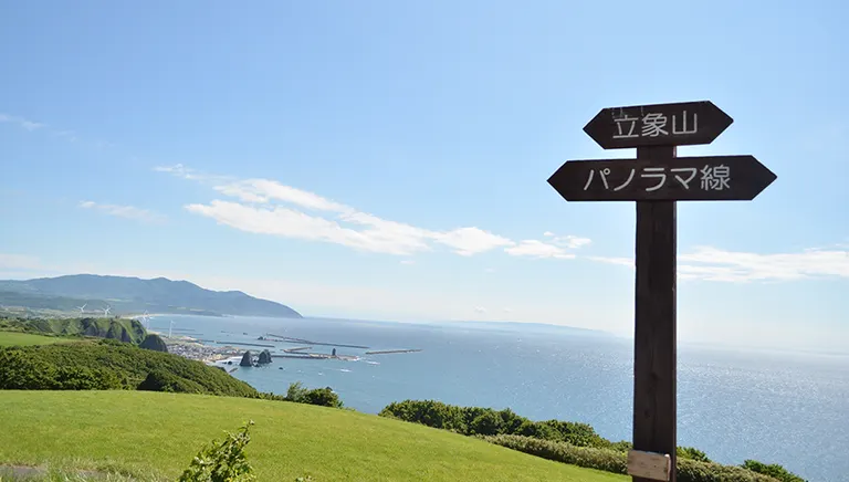
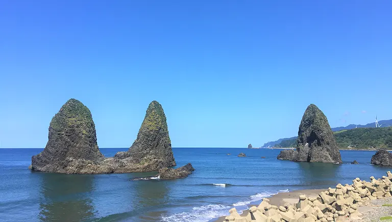
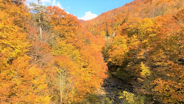
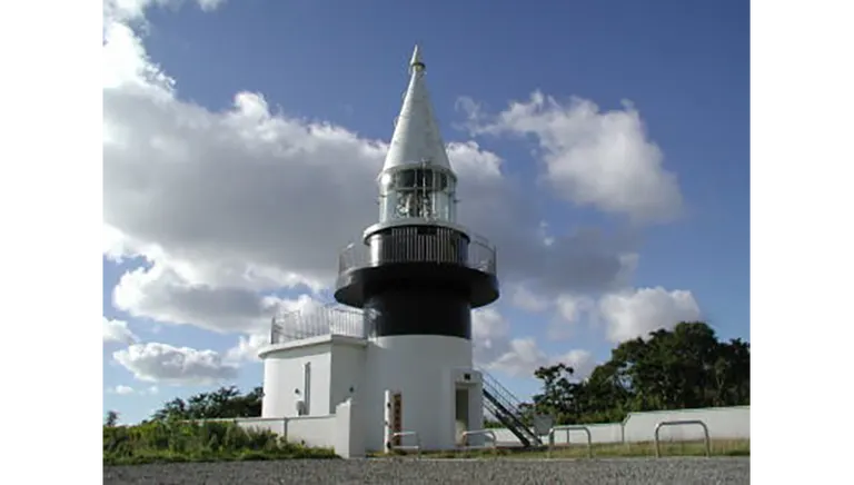
Located at the northern tip of Setna Town, this cape is where the rugged mountain ridge of Mount Kariba, the highest peak in southern Hokkaido, sinks all the way to the west into the Sea of Japan. It commands a panoramic view of the coastline with its succession of oddly shaped rocks, Okushiri Island, and the Shakotan Peninsula in the distance. The "Cape Mozutamisaki Lighthouse" towering over the cape is the highest lighthouse in Japan, standing 290 meters above sea level to the top of the lighthouse. The lighthouse's beam reaches 43.5 km (23.5 nautical miles) away, protecting many fishing boats and other vessels. The lighthouse is located in Shimamaki Village, but the only access to the lighthouse is via the "Motsuta Forest Road" on the Setona Town side. The forest road is paved and offers a spectacular view of lush green trees in summer and autumn leaves turning red and yellow in fall. The road is narrow, so be careful when passing through. The area around the cape is designated as part of the Kariba-Mozuta Provincial Natural Park.
Because of the abundance of nature, the area is a habitat for brown bears, so be careful. The forest road is closed during the winter (end of October to end of April).
Photo Point:
View of the Sea of Japan from the lighthouse observation deck
regular closing day
Motsuta Forest Road" is closed during winter.
Location
Shimauta, Setanaku, Setanamachi, Kuso-gun
スポット運営者
【灯台に関する問合せ】第一管区海上保安本部(代表)